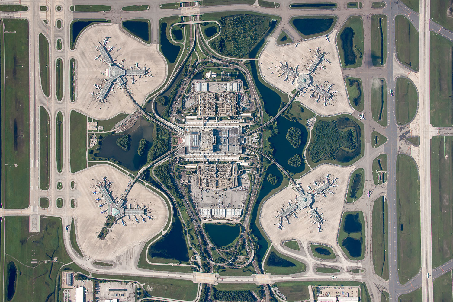
Our Overhead images provide:
- detailed, plan-view
- property line assement/development examination
- highway infrastructure documentation
- roofing survey information
- campus, site, or event navigation
- event attendance estimating
Where photography takes flight.

Our Overhead images provide: