Custom Flight Services include: One-time shooting of Property Project Completion Images Grand Opening Ceremonies Natural Disaster Documentation Specific Component Installation Controlled Burn Monitoring Air-to-Air Imagery
Where photography takes flight.
Portfolio
Custom Flight Services include: One-time shooting of Property Project Completion Images Grand Opening Ceremonies Natural Disaster Documentation Specific Component Installation Controlled Burn Monitoring Air-to-Air Imagery

– Click here to view our Demo Reel – Ongoing progress photos of your site – Showcase your finished projects – Specialized Operations – Wildlife Monitoring – Inspections
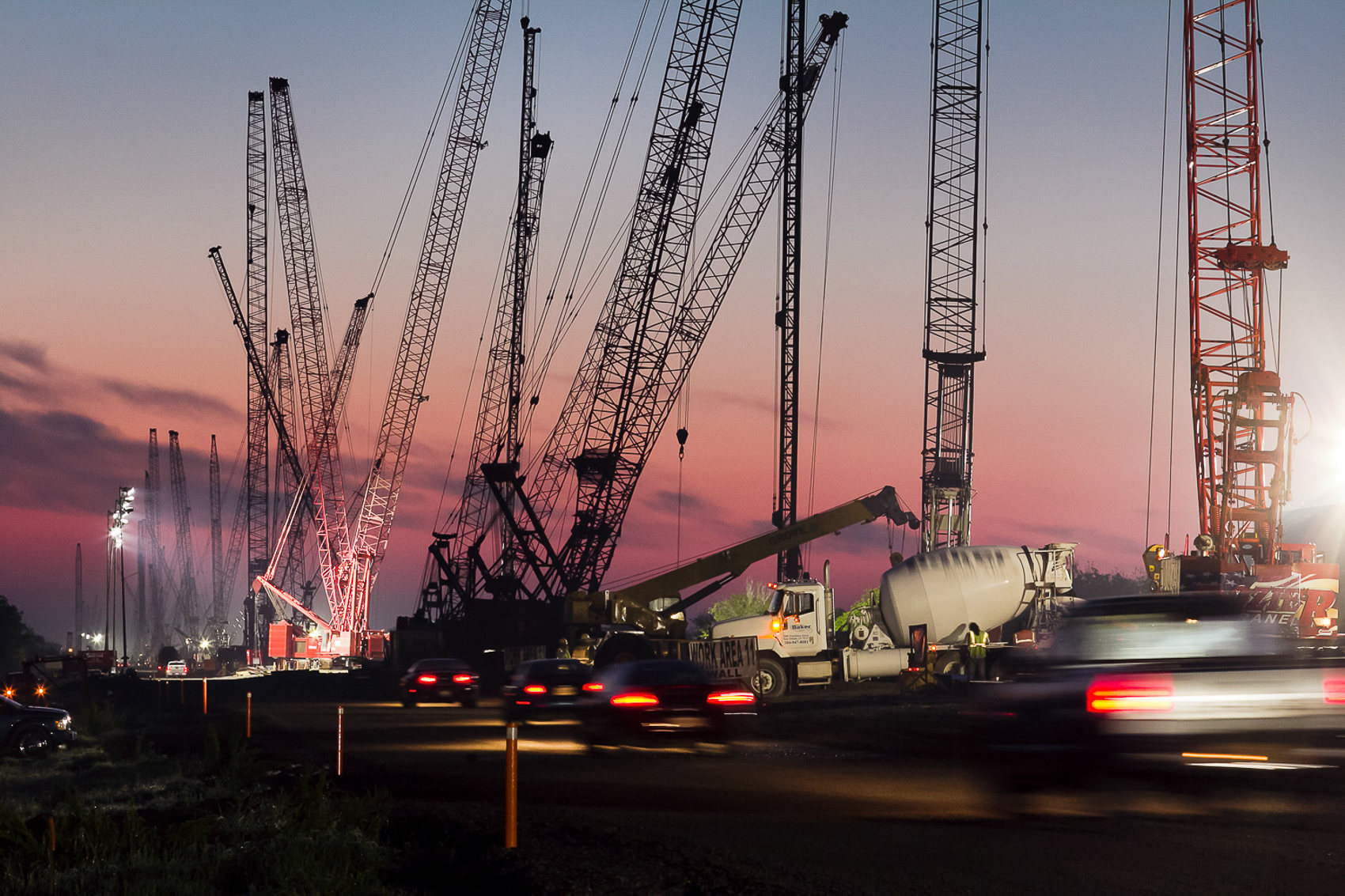
Ground Imaging Services include: – On-site construction Progress – Completion Images – Press Release Material – Incident Documentation – Geotagging with digital data overlay – Training Manual Media
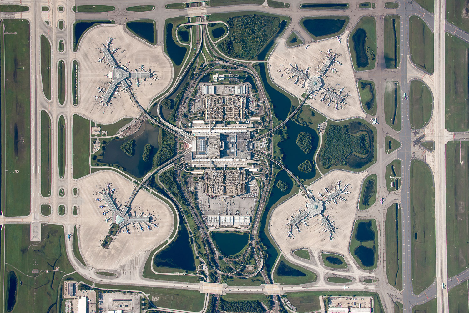
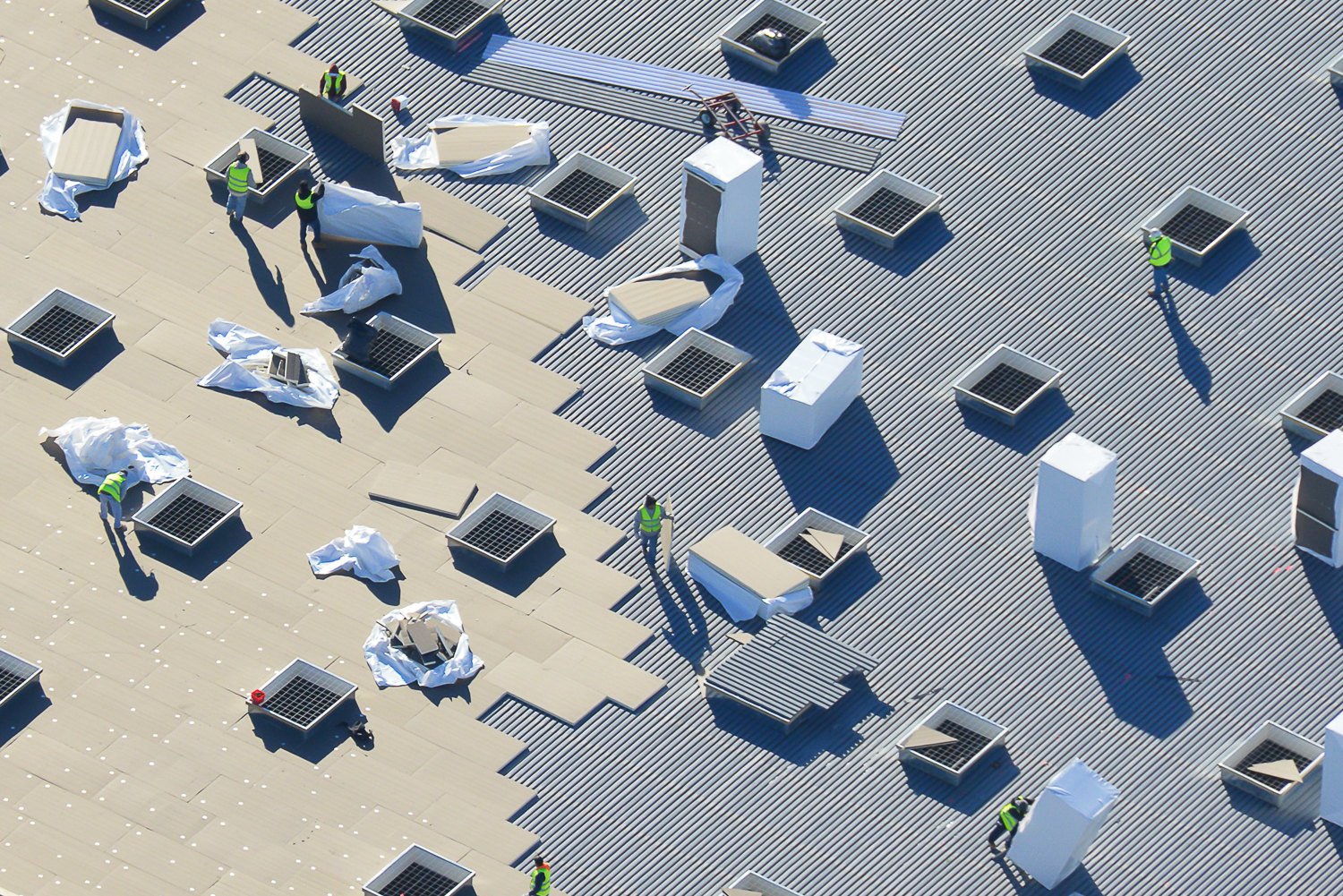
Our Overhead images provide: detailed, plan-view property line assement/development examination highway infrastructure documentation roofing survey information campus, site, or event navigation event attendance estimating
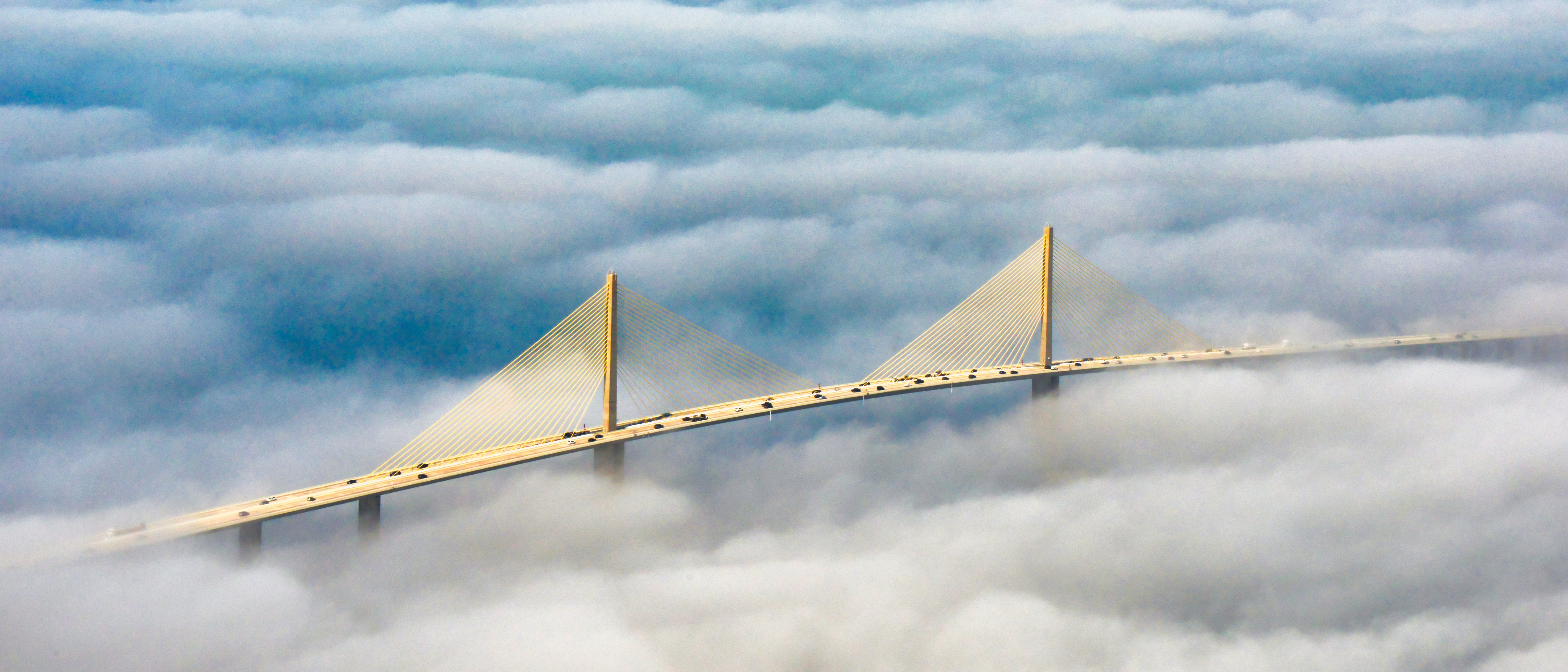
Specializing in: Residential/Commercial Developments Educational Facilities Roadway Improvements Dredging & Maritime Projects Military Base upgrades Stadiums & Sporting Arenas Public Utilities Improvements Environmental Documentation
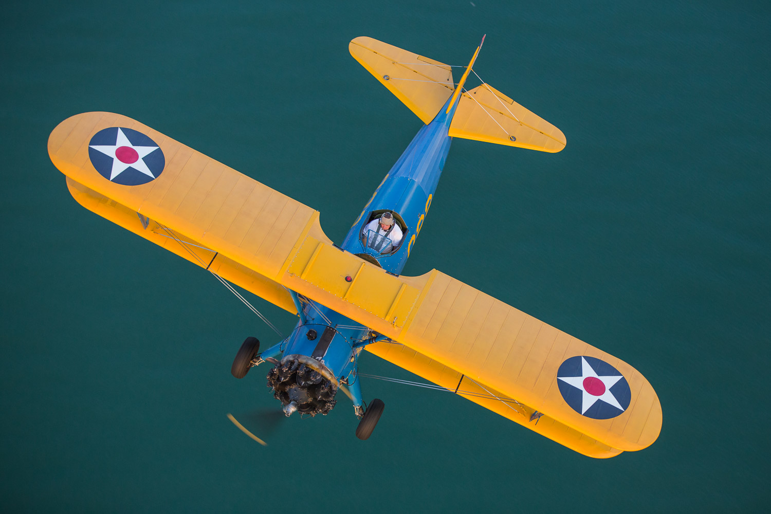
Flying over 2000 hours per year, our photographers love to take the time to create stunning imagery as well. These photos are a small collection of our Staff Photographers’ personal collection.